-
Archeologists analyzing stretches of the Amazon using LIDAR have discovered a long-lost Portuguese colony in the Brazilian state of Rondônia.
-
Experts found geometric shapes—possibly denoting places of cultivation—along with ancient streets.
-
This settlement is only one in a long line of discoveries being found across the Amazon during this LIDAR-fueled archaeological era, and experts hope that these newly discovered sites will receive protections as national heritage monuments.
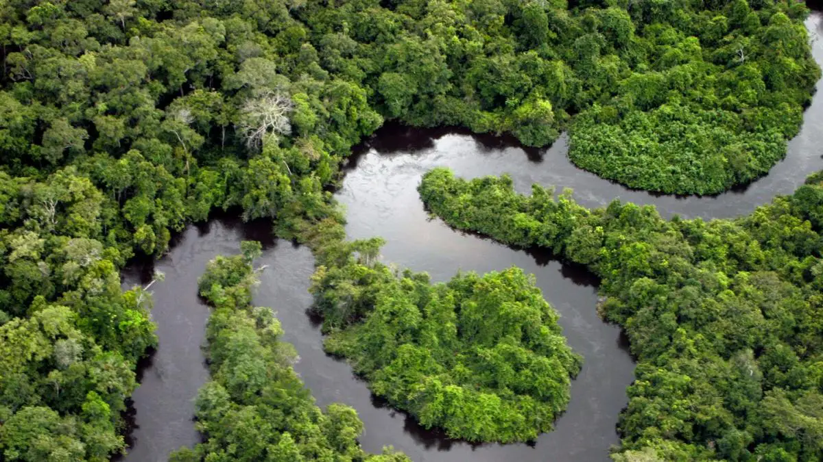
Spanning some 2.5 million square miles, the Amazon Rainforest is a notoriously difficult ecosystem for archeological exploration. Experts have long believed that this vast jungle was home to a variety of cities, but finding evidence of human habitation among the inhospitable dense foliage—which is also happy to rapidly consume any human detritus left behind—wasn’t easy.
Now, a new age of Amazon archaeology fueled by Light Detection and Ranging (LIDAR) techniques has made these kinds of discoveries possible. Earlier this year, scientists reported the discovery of a 2,500-year-old civilization along the eastern foothills of the Andes, in an area known as the Upano Valley. LIDAR data has also revealed the existence of ancient earthworks that likely contain terra preta, or “dark earth”—a type of soil cultivated by indigenous peoples that’s particularly adept at sequestering carbon.
Recently, a new search conducted by archaeologist Eduardo Neves from the University of Sao Paulo—undergone as part of his and his team’s Amazônia Revelada project, the goal of which is to meticulously map the Amazon Basin using LIDAR—has revealed evidence of another chapter of the Amazon’s history. This particular discovery takes the form of a Portuguese colonial town said to have vanished hundreds of years ago.
“It was abandoned, the forest took over, and the stone blocks were removed,” Neves told the Portuguese-language website Metrópoles. “With our maps, we were able to identify the layout of the streets of this city, which was also a fascinating discovery.”
Neves found the abandoned settlement in the Brazilian state of Rondônia, which is sandwiched between the Amazon to the north and Bolivia to the south. He and his team first spotted a stone structure known as the Serra da Muralha, which was previously believed to be the destroyed wall of a colonial building. From there, LIDAR observations were able to discern ancient streets and other square and circular shapes—some of which the team still doesn’t quite understand. While LIDAR is an incredible tool for initially finding these areas of interest, sometimes archaeologists need to just start digging.
“We still don’t know exactly what they are,” Neves told Metrópoles. “They could be areas of cultivation or perhaps places of habitation, but we will have to go back to the field to excavate and better understand their meaning. These formations are known in other places, such as Bolivia, but this is the first time we have seen them on the Brazilian side.”
In a report in July this year, Neves explained his group’s partnership with local indigenous groups intended to both assure their protection and secure their permission to do fly-over LIDAR studies of these hard-to-reach regions.
“We want to start registering these endangered archeological sites so they can be protected as national heritage monuments,” Neves told a Brazilian news outlet at the time. “We’re finding archeological sites everywhere we go in the Amazon region. The question is what to do with them.”
You Might Also Like


Leave a Comment