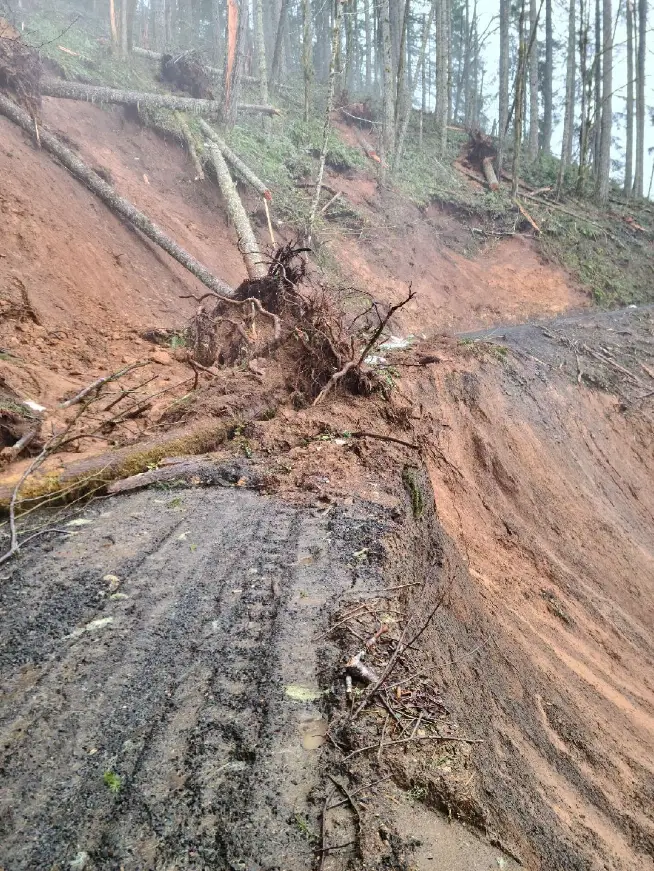
Windy Peak Road west of Eugene will be closed for the next two years following a landslide likely caused by ice-tipped trees after January’s ice storm.
Officials with the U.S. Bureau of Land Management in Oregon and Washington said in a news release Monday that the slide has deposited sediment on the road, also known as BLM Road 17-8-3.1, eroded its surface, and scoured a channel to Greenleaf Creek.
Warning signs have been placed where the pavement ends at the Deadwood Creek entrance to block traffic and hazard flags have been posted around the slide.
Engineers with BLM are still reportedly exploring options for road repair and slope stabilization. While the exact cause of the slide is still unknown, officials believe that a shallow, fast-moving debris flow was triggered by ice-tipped trees. Ongoing erosion was still occurring in the upper area of the slide near the damaged road.
According to the BLM, similar geologic processes have occurred in the past, such as the landslides that created Triangle Lake and the ongoing slow-moving landslide at Lamb Creek.
Once the weather dries out, the soil is expected to stabilize for the season, but further movement may be triggered within the next few years during prolonged wet conditions in Lane County.
Haleigh Kochanski is a breaking news and public safety reporter for The Register-Guard. You may reach her at HKochanski@gannett.com.
This article originally appeared on Register-Guard: Landslide to close forest road west of Eugene for next two years


Leave a Comment